On Wednesday I took a little trip to Manteca to run a few errands. My first stop was at Bass Pro Shops where I was looking for a few things.
 I always like visiting Bass Pro Shops and seeing the different displays. I especially like the one in Manteca as it reminds me of the mountains of California.
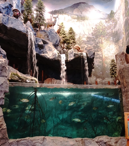 Every Bass Pro Shops I have been in has a big aquarium and Manteca’s is really nice as it represents a mountain pond or lake. I really like the waterfalls coming from above and the mountain scene portrayed above it.
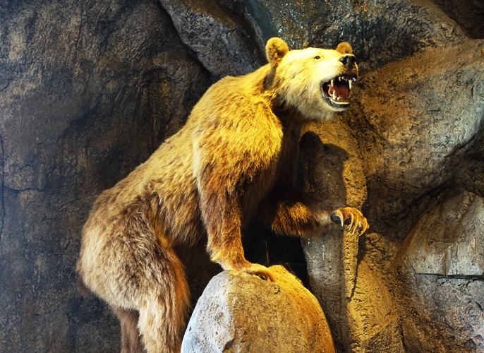 How about a Grizzly Bear? This one looks a bit lean like it has just come out of hibernation. I would definitely not want to get this close to one. Look at those claws and big teeth.
 Another errand was to visit a used book store in Manteca. I found several interesting books. This one caught my eye as I have been doing a bit of research about this subject. The Boston Tea Party by Benjamin Woods Labaree, looks like it has a lot more information than what I’ve been able to find on the internet.
 On the way out of Manteca I had one more thing I wanted to do. I wanted to get a picture of the Super Buffet restaurant. If everything goes as planned the Super Buffet will be torn down and a Chick-fil-A will replace it. See: Manteca Chick-fil-A?
Now back to watching the Winter Olympics.
Steven