Back in December I wrote a post titled Tracy Hills Construction Begins. I decided tonight to give an update as I found out that Google Maps has a new satellite image of the area that is quite interesting. But first a bit about Corral Hollow.
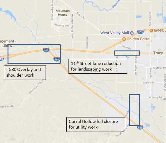 Earlier this year Corral Hollow was closed entirely for utility work to support the Tracy Hills project. See my post Tracy Traffic Troubles for more details. There were many upset people who had to find other routes for their commute.
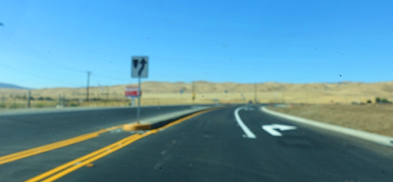 Corral Hollow is now back open and includes a traffic island for the entry to the Tracy Hills project. My Sunday morning drive to Patterson is a bit shorter now 🙂
Blurry images brought to you by my dirty windshield which the camera focused on.
 Here you can see road construction equipment at the Tracy Hills project. They are getting ready to start paving the roads throughout the project which is one of the last steps before houses start rising from the ground.
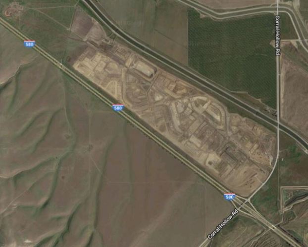 Here is the new satellite image from Google Maps. You can see the general outline of the roads in the project. It was interesting to compare it with project maps available in Tracy Planning Commission meeting minutes.
 Here is a closer look at the satellite image. You can see the individual parcels of land where houses will soon be built.
I am not looking forward to all the commuters this project will generate. But, perhaps they will get the metering lights on the Altamont activated before they will start having an effect on my commute. See: Metering the Altamont
Steven