The next destination on my Virtual Hike was Carlingford, New Brunswick.
The previous destination on my virtual hike was Juniper, New Brunswick.
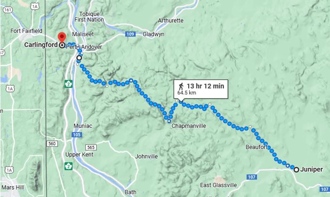 The virtual hike from Juniper to Carlingford was mostly through the hills where the Google Maps car did not go. Canada is also not as well mapped as many places in the United States.
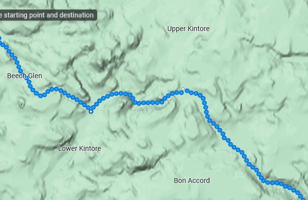 You can see it was difficult terrain, but in a Virtual Hike the way is mostly flat 🙂
I am virtually making my way across New Brunswick to the US Border and this is the last stop before I make it into Maine.
 After I came down out of the hills there were still no Google images as I was virtually hiking on a trail.
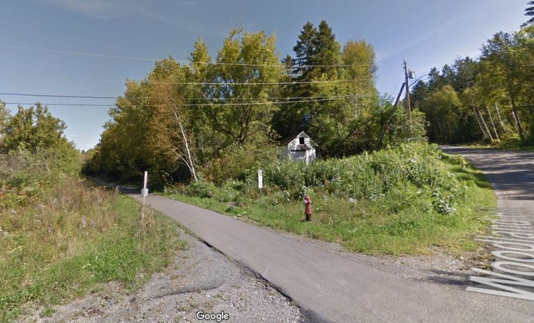
 I finally made it to the bridge over the St. John River and crossed over to Perth-Andover and Carlingford.
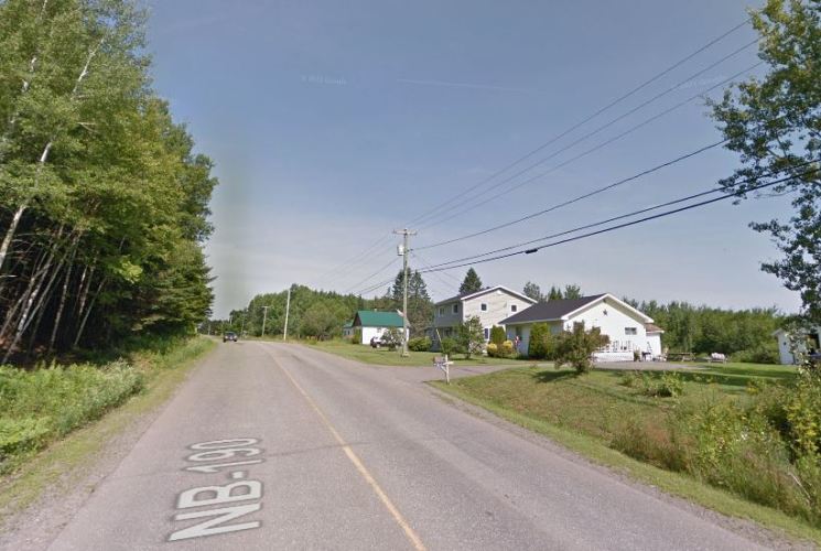 There was really not much to see once I made it to Carlingford. There were just mainly some houses along the Fort Road that heads to Fort Fairfield, Maine.
I did not find much about Carlingford except that it was named for a place in Ireland and that is was an anglophone community.
I have been setting shorter distances between destinations for better motivation for my daily walking and so far it has been working. I have been walking more each day.
My current plan is to make my way toward northern New York through Maine, New Hampshire and Vermont. Perhaps I will find some interesting stops along the way.
Look for a couple of interesting reasons why I crossed the border here in the next post.
Steven
Images in this post are from Google Maps and Street View.

Pingback: Virtual Hike to Ashland, Maine | Braman's Wanderings