The next destination on my Virtual Hike was Juniper, New Brunswick.
The previous destination on my virtual hike was Cross Creek Station, New Brunswick.
 The virtual hike from Cross Creek Station to Juniper was partly over trails and roads that the Google Maps car did not record as they were remote areas. Canada also does not have as much mapped as the United States in most areas.
I am virtually making my way across New Brunswick to the US Border and have only one more stop before I make it into Maine.
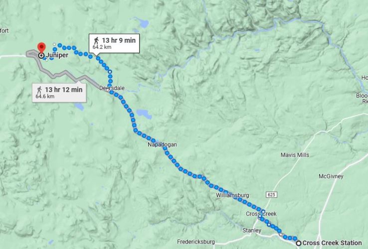 Juniper is high in the hills between the Nashwaak and St. John river valleys. You can see the topography in this map. Juniper has a high proportion of residents that work in the forestry industry and is surrounded by forests.
 Here was one of the areas where I had images. It is rolling hills that slowly increase in altitude. You can see that it is passing through forested areas.
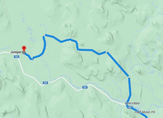 At Deersdale the path follows some gravel roads for the rest of the way to Juniper. It looks like it is a bit hilly, but no images here as it is a route where the Google car did not go.
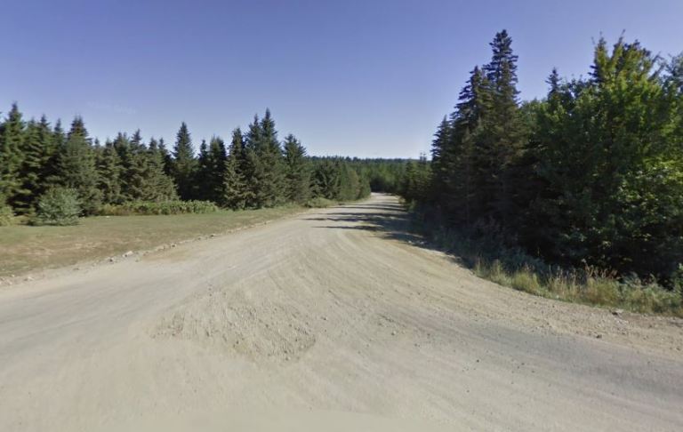 Here is the turnoff onto the gravel road at Deersdale which is shown in the previous map. .
I did not find much about Juniper, but it is named for the juniper shrubs that are in the surrounding bog areas. I chose Juniper as it was the right distance and also the name of the daughter of a good friend of mine.
I am setting shorter distances between destinations for better motivation for my daily walking and so far it has been working. I have been walking more each day.
My current plan is to make my way toward northern New York through Maine, New Hampshire and Vermont. Perhaps I will find some interesting stops along the way. I have only one more stop in New Brunswick and then will cross the border into Maine.
Steven
Images in this post are from Google Maps and Street View.

Pingback: Virtual Hike to Carlingford, New Brunswick | Braman's Wanderings