Back on the First of July in 2017 I started a Virtual Hike to Yosemite which has continued across the country. I have been thinking in the past months as I get closer and closer to the Atlantic Coast that I started the Virtual Hike at the wrong place.
 Since it is a Virtual Hike, I decided to remedy this and start my Virtual Hike on the Pacific Coast. Since I still have my earlier daily walking distances I am pushing the start back to the First of June.
My starting place for the Virtual Hike is now the Cliff House in San Francisco since it is an iconic spot on the Pacific Coast and also within the amount of miles that I walked in June 2017. A good portion of my actual miles that month were in Israel.
As a reminder, the pictures are all snips from Google Maps or Google Street.
 Here you can see the route that I took out to the Central Valley.
 The unwritten rules of the Virtual Hike are that I can’t follow a route where pedestrians are not allowed, so I did have to take a ferry across the San Francisco Bay. However, this is what you would have to do in some places. There were some much longer routes that I could have followed where I didn’t have to take a ferry, but I decided to go with a ferry since they are permissible in my unwritten rules. This rule will be put to use a few times as I cross the country. (writing as if I wrote this back in July 2017) 🙂
 I then headed on to Castro Valley, up through Norris Canyon and then down into the Tri-Valley. It can be very scenic route depending on what time of year you make the hike.
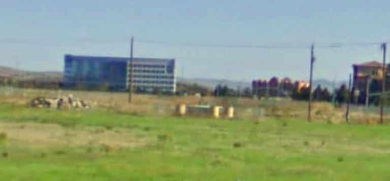 I then started following Iron Horse Trail which of course in an old railway bed. This trail passes very close to where our new office is being built. This snap from Google Maps was from before construction started on a huge housing project in the foreground.
I couldn’t follow the route that I normally take from my nearby office to home. It is mostly Interstate which doesn’t allow pedestrians. Instead I had to cross Pleasanton and Livermore on trails and surface street.
 I was then able to take Patterson Pass road over the Altamont Hills. There are some nice vistas from Patterson Pass, but I don’t often take this road as it is too well know of a shortcut for the Altamont and many people do not follow safe driving practices. It is no fun being on a two or less lane road with someone in a hurry behind you.
So now I have a link between the coast and the start of the Virtual Hike to Yosemite and beyond.
Steven
You can find posts in the Virtual Hike series by clicking here: Virtual Hike Search
