I am sure that many of you have seen my Virtual Hike posts. My Virtual Hike started in July of 2017. I had the idea to use how far I walked each day and go on a virtual hike to Yosemite. I then just kept going from there. I have virtually walked all the way to the East Coast and up to Prince Edward Island and am now on my way back.
 It is pretty simple, I figure out the next destination and how far it is and then start walking. It has been good motivation to walk more as I accumulate the miles for the next stop.
 I usually try and make the next stop something significant. Maybe it is where something historic happened, a place that brings back memories or someplace where my ancestors lived.
 I also have some fun researching each new destination.
 I use Google Maps for the maps and usually Google Street View for the scenery as I hike through an area. Of course, sometimes I have other pictures to add for certain destinations.
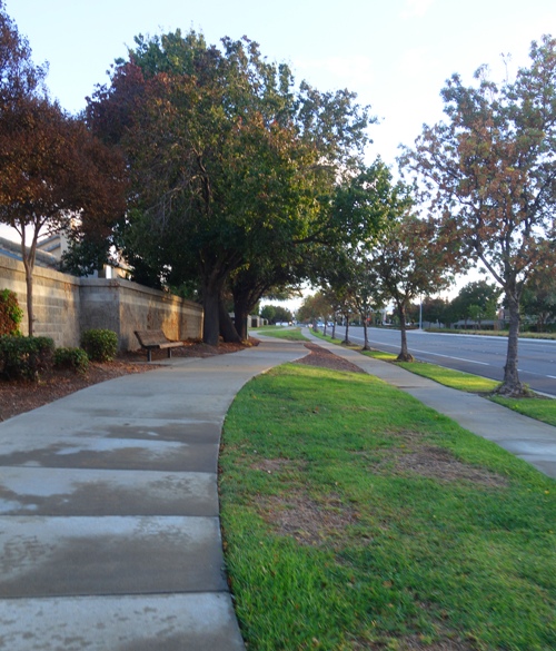
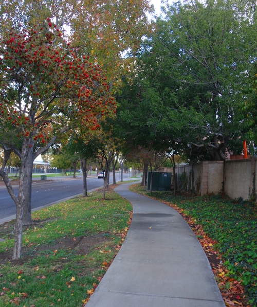
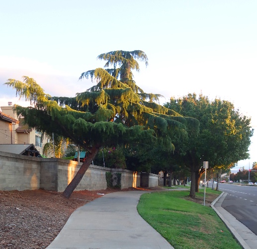
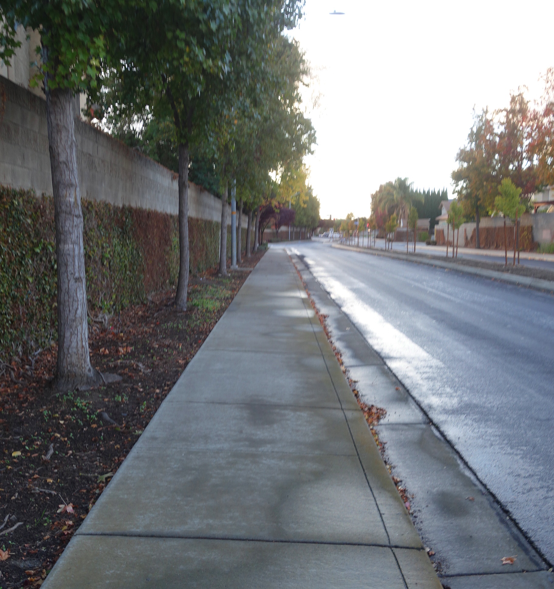 However, most of the actual walking to reach the next virtual destination comes from the flat sidewalks near my house. This post has images of where most of the miles that feed the virtual hike took place. I don’t always have such a nice view as many of my miles are walked after dark.
I hope you enjoy my Virtual Hike posts.
Steven
