Tonight is the first post in what may become a series. I want to use the satellite views from Google Maps, and then show what it looks like at ground level from pictures I have taken. My first subject is the Great Wall of China at Badaling. This is not far north of Beijing.
 I will start with the satellite picture. The images from China do not have as good of resolution as other places, but you can see the Great Wall in this clip.
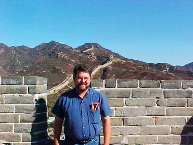 OK, I did not take this picture as it is of me, but you can see the Great Wall snaking through the hills behind me. You can tell that this was long ago by the quality of the picture and also the dark beard.
 You can see the large number of people that were walking on this restored section of the Great Wall.
 There are also some sections that have not been restored, but you definitely can tell how massive this wall was and how well it was guarded.
 This was definitely a great experience that should be on your bucket list.
 Of course I had to take a funny picture as well. Little kids do the funniest things sometime. This little kid was looking down through one of the slits that they would use to shoot arrows through to help defend the wall.
If I continue this series what places would you like to see?
Steven
