The next destination on my Virtual Hike was Caratunk, Maine.
The previous destination on my virtual hike was Kokadjo, Maine. The virtual hike from Kokajo to Caratunk was through the wilderness of Northern Maine. You can see from the terrain map that it passed by Moosehead Lake and other bodies of water.
If I would have followed the gray route I would have ended up hiking a section of the Appalachian Trail. There is also a ferry specifically for the Appalachian train just north of Caratunk.
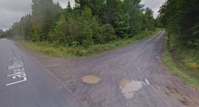 The roads in this segment were a bit better, but still a mix of dirt roads and blacktop. However, a much lower ratio of dirt roads and trails.
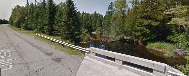 There were also more stretches of road with small streams or rivers that were close to the road. As in recent segments the roads were mostly lined with trees.
 As I got close to Caratunk I virtually passed by Pleasant Pond. The pond is surrounded by many cabins and homes and is known for sport fishing.
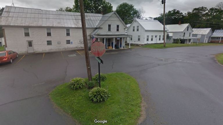 I finally reached Caratunk which is a very small town. The population in the last census was only 81.
I have been setting shorter distances between destinations for better motivation for my daily walking and so far it has been working. I have been walking more each day and have made good progress toward New Hampshire.
My current plan is to finish making my way across Maine, and then across New Hampshire and Vermont to New York. Perhaps I will find some interesting stops along the way.
Steven
Images in this post are from Google Maps and Street View.

Pingback: Virtual Hike to Eustis Maine | Braman's Wanderings