Last weekend I reached the latest goal on my Virtual Hike. The completed segment was from the Four Corners National Monument to Chimney Rock, Colorado.
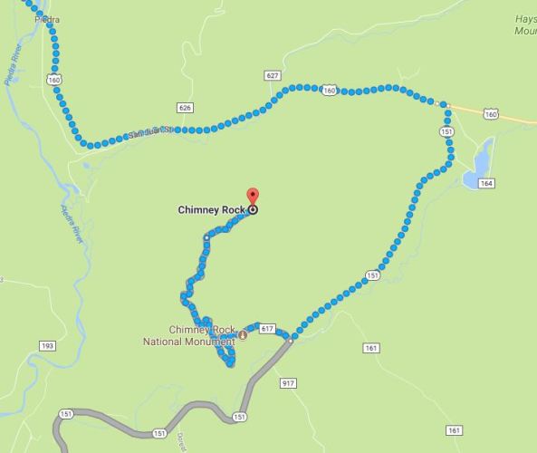
 Here you can see the route. As I progress on my hike I will often take a look at where I am using Google Street View. There are some great views along this route.
 Here is the last part of the virtual hike. You can see that it also follows the trail up to the summit of Chimney Rock.
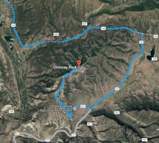 Because of the geography of the area and the existing roads the route circles around Chimney Rock so I decided to see what views I would get from Google Street View.
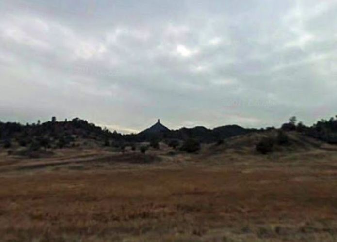
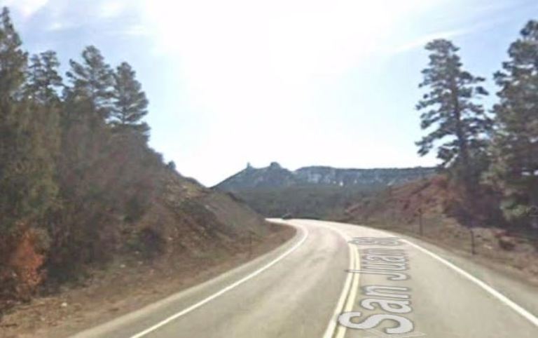 This would be my first glimpse of Chimney Rock. There are two rock formations on top of the ridge. The small one of course is Chimney Rock and the second is called Companion Rock.
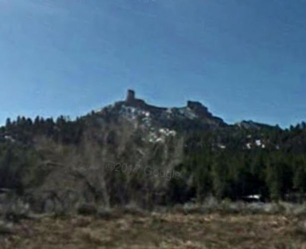 Here is a view from the side. You can definitely see the chimney formation.
 Here is a view from the east as the route heads south on 151.
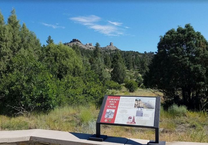 Here is a much better picture from Google Photo Sphere. Here you can clearly see Chimney Rock at the end of the ridge.
 Chimney Rock is also an archaeological site as they have uncovered Pueblo Indian remains from the Chaco Culture era. The Great Kiva here was constructed about 1,000 years ago.
One of the neat things about this virtual hike is that I am learning more about the areas that I am passing through. I now must do some more research about the Chaco Culture.
As I mentioned I reached Chimney Rock last weekend. With my walking this week I have already made it to Pagosa Springs as I head toward Alamosa, Colorado.
I should get a good walk in on Monday since it is a holiday.
Steven

Pingback: Virtual Hike to Alamosa, Colorado | Braman's Wanderings