The next destination on my Virtual Hike was Ashland, Kentucky.
 The previous destination on my virtual hike was in Ross County, Ohio
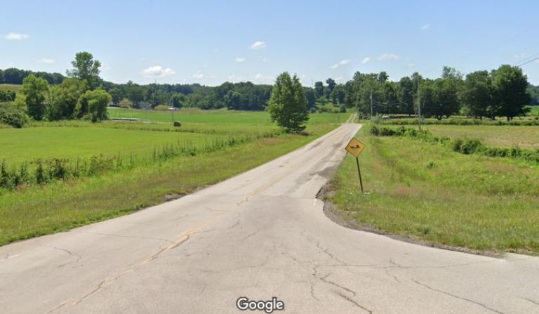 The route was often on smaller country roads that Google did not have images of. Here you see the entrance to one of the small roads with a sign to watch out for horse and buggies. There are Amish communities in the southern part of Ohio.
 The route passed by many small farms.
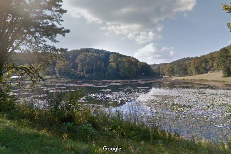 There were many scenic views like this small lake.
 The Virtual Hike crossed over the Ohio River at Ironton, Ohio just downriver from Ashland, Kentucky.
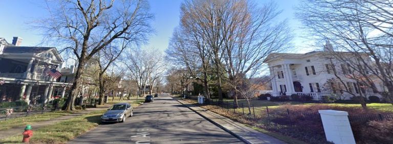 I chose Ashland, Kentucky as a destination as it was where the town I went to High School was named after it. Ashland, Kentucky is named after Ashland, which was the estate of Henry Clay. I have virtually stopped at several towns named Ashland along the way. The picture above is just of a residential street in Ashland, Kentucky.
Now that I am virtually in Kentucky I will make my way west toward where some of my ancestors lived in the early 1800’s and also where a significant religious event took place.
Most of the next stops will have family connections as well as connections to early Restoration Movement History. I am still working on the route as I learn a lot more about how migration routes changed as the frontier pressed further west.
Steven
Images in this post are from Google Maps and Street View
WwRI – Written With Real Intelligence

Pingback: Virtual Hike to Log Union Cemetery, Kentucky | Braman's Wanderings